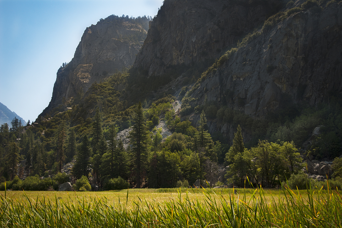
Here in this photo, the floor of Kings Canyon is about a mile beyond Cedar Grove. Which is just over 4,600 feet above sea level. With ancient upward vertical cliffs far above the lowest glacier-carved depth. It is said that rivers carve a “V” shaped valley. While glaciers carve a “U” shaped valley. Yet here what is to become a canyon with soaring walls on each side. The depth of Kings Canyon is at about 8,200 feet. One of the deepest canyons in the U.S. Further shaped by plentiful rivers, cascades, and the life they support.
Archive | Wilderness RSS feed for this section
Parched Valley
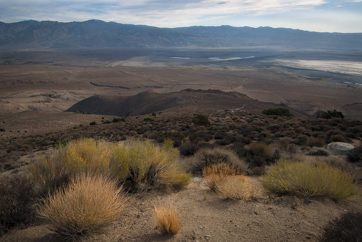
A distinct contrast to the Western side of the Sierra Nevada Mountains. Owens Valley is far more sparsely populated as compared to the San Joaquin Valley. Left uncultivated, one might wonder how common these separate valleys would appear along the vertical stretch of California’s Central region. The Western side is more irrigated, while receptive to the Pacific Ocean’s circulatory conditions and from seasonal rainstorms. To thereafter include late Fall season fog and Spring/Summer melt.
Gentle Waters
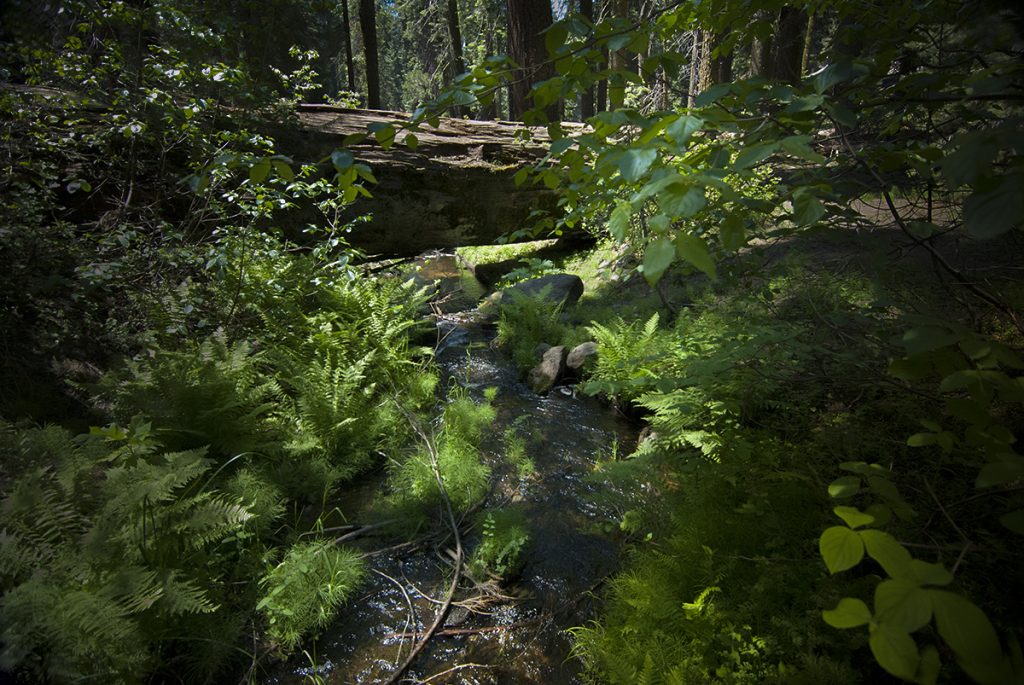
When out on the trail and while alone, you might be more inclined to pick up on what you hear with extra sensitivity. While the visual quality of an area can be overwhelming, there is a peace that comes with rushing or gentle waters you can hear if you listen. These waters are a symbol of life. They nourish, rinse, and soothe the spirit. If there is any favorite wilderness quality I would have chosen above all others, it would be still, gentle, or rushing alpine waters. To stimulate the heart and bring renewal all at once.
Standing High
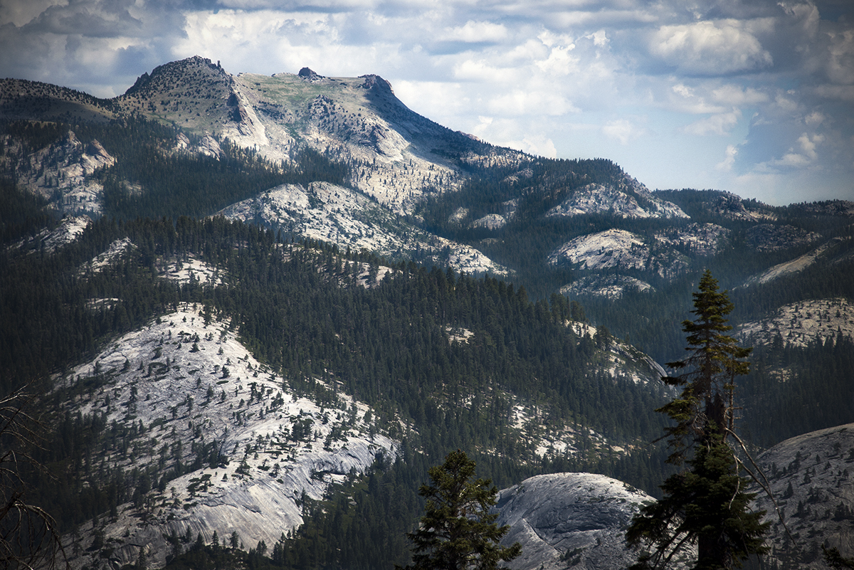
This is Mt Hoffmann in Yosemite. Standing high above May Lake, it has an easy class one route to the top with a class 2 approach to the summit. The route to the top is at times guided by cairns with a trail that comes and goes below the graded chute. An easily completed hike to the top with the family. An overnight stay at May Lake provides easy access to much of this wilderness area. Or as a full day from an early start at the trailhead.
Shadow at Dawn
Our exit out of Yosemite involved crossing a pass over this range into Ansel Adams wilderness. We rose early to give us a lot of time to cross over Donohue Pass at about 11,000 feet. The early morning being renewed and awaken the senses. The best time to get ahead of afternoon thunderstorms that build up while being so exposed to the higher altitude, strong winds, and intense UV light. Once at the pass, we recovered a bit before the long descent over Island Pass and into Ansel Adams for an overnight stay at Shadow Lake.
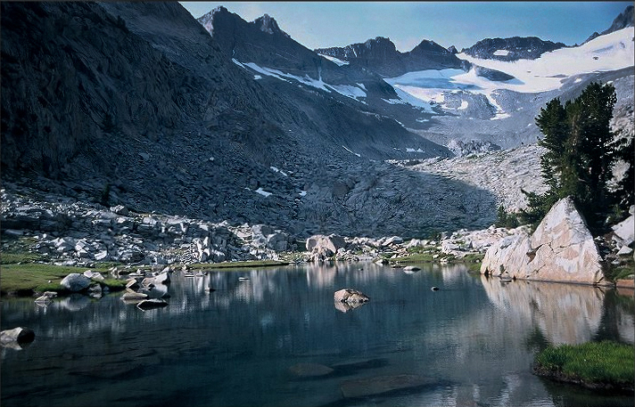
In view here is the Lyell Fork, Lyell Glacier with Lyell Peak and Mt Maclure to the upper right out of view.
Cascade Cliffs
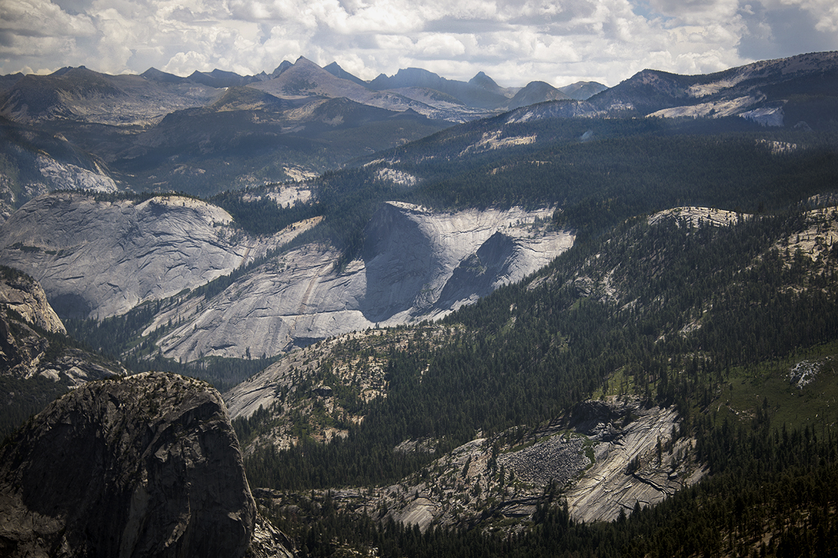
A small yet popular slice of Yosemite wilderness. Below Clouds Rest with Little Yosemite Valley, Cascade Cliffs, Bunnel Point, and Liberty Cap in the foreground. A well-trodden place by people who have overnight permits to explore and experience Yosemite. The bottom-most part of this photograph is Little Yosemite Valley with the Merced River which runs through it. The route to Half Dome runs through here. Probably one of the most photographed areas of Yosemite.
Under Grey Skies
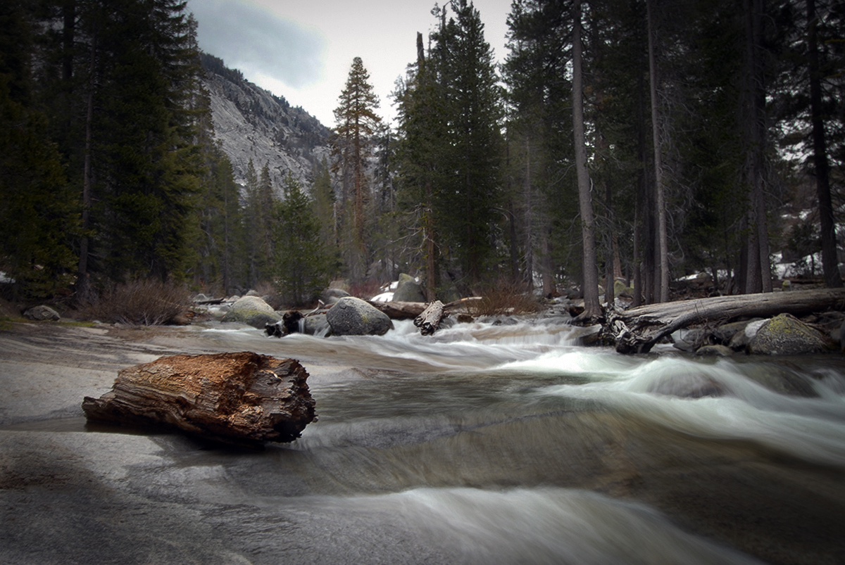
Even under grey skies, the Marble Fork of the Kaweah River gives a most beautiful view of the natural order. After decay, forceful winds, raging storms, and harsh exposure, every element comes to settle in a most restful way. Where there are peace and perfect solitude, or where there are uncertainty and restoration. Where the heart grows full by closely listening to what such a place would say.
Prominent Stature
To accompany Sentinel Dome about a mile away, Sentinel Rock prominently stands out for Yosemite visitors. A popular climbing spot with multiple routes. With its long history of stature, it is a feature and subject to many photographs over many years. It stands nearly vertical as a watchful presence. A fitting name for the rock-cliff formation along the Southern Rim of Yosemite.
Storm Front
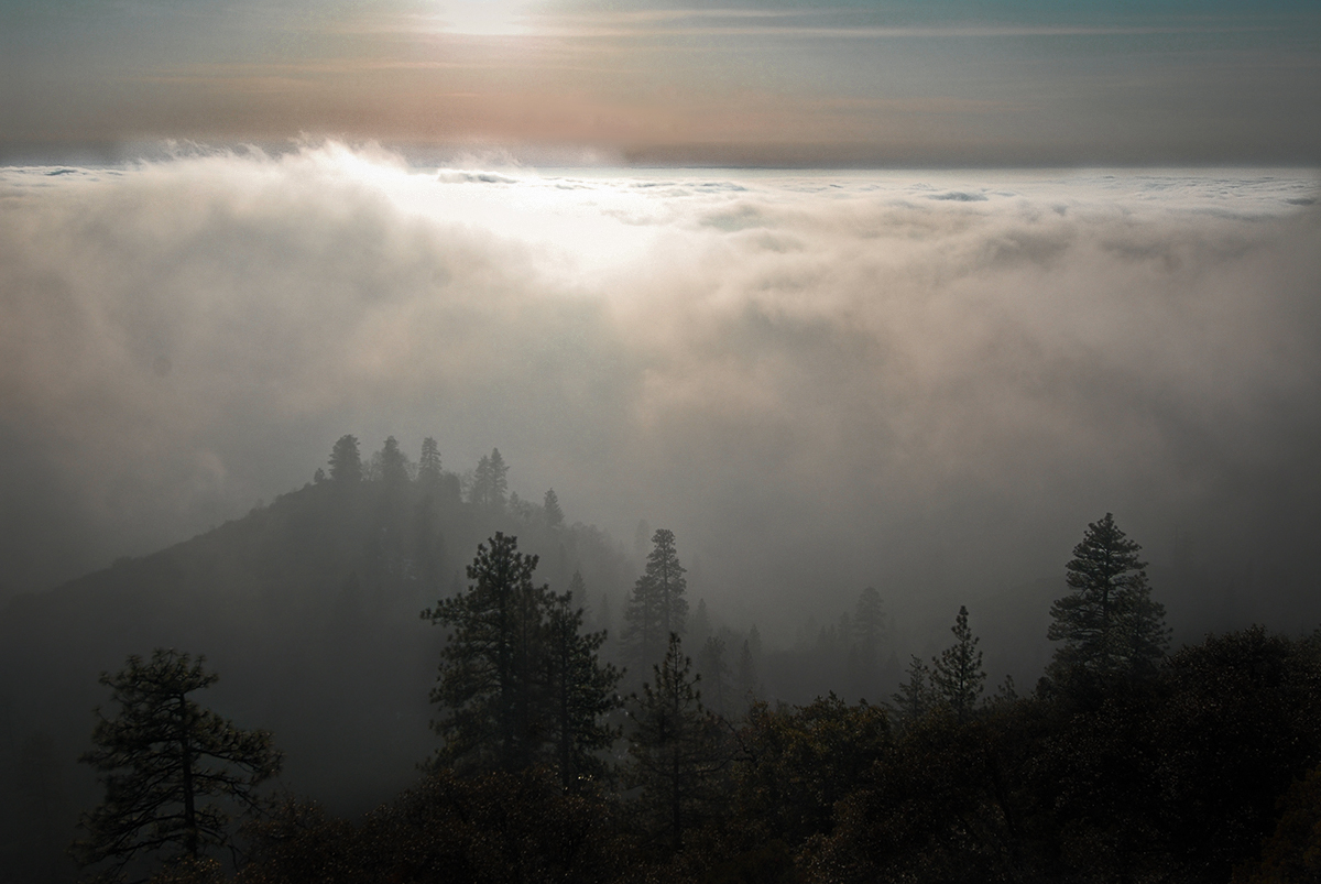
This photo captures the onset of a storm front coming in at about 8,000 feet or so. Below are the Western Sierra foothills. The jet stream from the Pacific Ocean brings storm clouds onto the Western face of the Sierra with some reach farther inland. With less obstruction to explain why there is much more growth, vegetation, and forest life on the Western slopes. As compared to the Eastern side which is more exposed and barren at higher elevations. The Eastern Sierra largely produces its own weather from temperature inversion and high-pressure build-up.
There was one time necessary to squat upright inside my tent with an insulated pad under the balls of my feet. Touching nothing, hands out, without anything conductive nearby (carbon fiber poles). With a surreal atmosphere, overhead lightning and ground strikes passing by one after another. Compared to that, rather encounter a curious brown bear, or cross a rough river any day.
Beneath It All
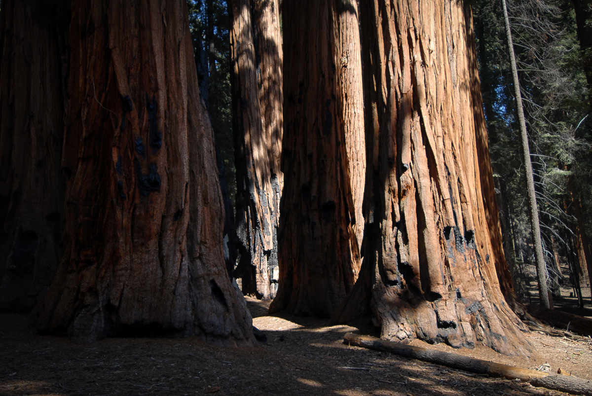
The initial growth conditions of this forest group were just right to support the early development of these conifers. Sequoias are conifers because their cones bear seeds which in turn can generate new growth. For these living beings to continue their growth over such a large period of time really says quite a lot about where they were and what lies beneath them.
Sparse Desolation
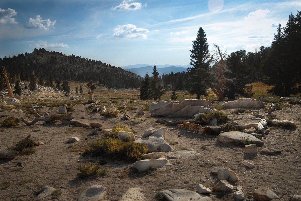
Leaving treeline in the Eastern Sierra has a distinct atmospheric feel to it. Not just by the altitude and reduced available oxygen level, but by the exposure and sparse shade that becomes more apparent. Either by miles from a trailhead or right when starting out, the terrain and shape of the wilderness tell a story. About its conditions, but also about what the area means to you while having been there.
Lost Grove
Sometimes setting off from the beaten path is the way to go. Even with the risks that come with that, there is something within that pulls you to look further into what you see in the distance. With confidence about the way back, a new discovery becomes much better rewarded and appreciated. As temporary as they are, natural occurrences make for the most beautiful places.
